
The Ratio Between the Map Distance and Ground Distance Is Called
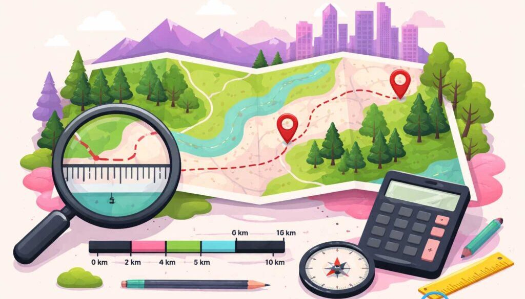
When you look at a map, everything appears much smaller than it actually is in real life. But have you ever wondered how mapmakers make sure that smaller representation is still accurate? That is where the concept of map scale comes in. The ratio between the map distance and ground distance is called the map scale, and it is one of the most important ideas in geography, cartography, and everyday navigation.
Understanding map scale is not just for geographers or surveyors. Anyone who reads a road map, uses a hiking trail guide, or explores a city with a printed map is relying on this concept. It bridges the gap between the world as it exists and the world as it is represented on paper or a screen.
What Is Map Scale?
Map scale is the mathematical relationship that tells you how much the real world has been reduced to fit onto a map. In simple terms, if a map has a scale of 1:100,000, it means one unit on the map equals 100,000 of the same units on the ground. That one unit could be a centimeter, an inch, or any other measurement.
This ratio keeps everything proportional. Without it, a map would just be a rough drawing with no reliable meaning. Map scale gives every map its accuracy and makes it a trustworthy tool for measuring real distances and planning real journeys.
Why Is This Ratio So Important?
The ratio between map distance and ground distance matters because it determines how much detail a map can show. A map with a large scale shows a small area but with a lot of detail, like a city neighborhood map. A map with a small scale shows a large area, like an entire country, but with much less detail.
Choosing the right scale depends entirely on what the map is being used for. A construction engineer needs a large-scale map to plan a building layout, while a traveler driving across a country needs a small-scale map to understand the bigger picture. The scale acts as a communication tool between the mapmaker and the map reader.
Types of Map Scale
There are three main ways a map scale is expressed, and each serves a slightly different purpose depending on the audience and the context.
Representative Fraction (RF): This is expressed as a ratio like 1:50,000 or a fraction like 1/50,000. It has no units attached to it, which means it works in any language and any measurement system. It is the most universally used format in professional cartography.
Verbal Scale: This type is written out in plain words, such as “one inch equals one mile.” It is easy for everyday readers to understand quickly without needing to do any math. However, it becomes inaccurate if the map is photocopied or resized.
Graphical or Bar Scale: This appears as a drawn line on the map divided into labeled segments. Even if the map is printed larger or smaller, the bar scale adjusts proportionally and stays accurate. This is why most printed maps include a bar scale as a reliable visual reference.
Large Scale vs. Small Scale Maps
Many people get confused between large scale and small scale maps because the names seem counterintuitive at first. A large-scale map actually covers a smaller geographic area but shows it in great detail. Think of a detailed street map of a single city. A small-scale map covers a much larger geographic area but shows less detail, like a map of an entire continent.
The key to remembering this is to focus on the fraction itself. A scale of 1:1,000 is a larger fraction than 1:1,000,000. The larger the fraction, the larger the scale and the more detail you see. This simple logic clears up the confusion once and for all.
| Scale Type | Example Ratio | Area Covered | Level of Detail |
|---|---|---|---|
| Large Scale | 1:1,000 | Small area | Very high |
| Medium Scale | 1:50,000 | Moderate area | Moderate |
| Small Scale | 1:1,000,000 | Large area | Low |
How to Calculate Map Scale
Calculating map scale is straightforward once you know the formula. You simply divide the map distance by the actual ground distance, making sure both measurements are in the same units.
For example, if 2 centimeters on a map represents 4 kilometers on the ground, you first convert 4 kilometers to centimeters, which equals 400,000 centimeters. Then divide 2 by 400,000, and you get a scale of 1:200,000. This tells you that every centimeter on the map equals 200,000 centimeters in the real world.
This calculation is used daily by surveyors, urban planners, military navigators, and GIS professionals. It is a foundational skill in any field that involves spatial thinking or geographic analysis.
Real-World Applications of Map Scale
Map scale is not just a classroom concept. It plays a vital role in many real-world industries and everyday situations. Engineers use it when designing roads and infrastructure. Architects use it when drawing blueprints. Emergency responders use it when planning evacuation routes. Even hikers use it when estimating how long a trail will take to walk.
In the digital age, map scale remains just as relevant. Online mapping tools like navigation apps use scale principles behind the scenes every time you zoom in or out on a map. The zoom level you choose is essentially adjusting the map scale in real time, giving you either a broad overview or a detailed street-level view depending on your need.
Geography students, travelers, real estate professionals, and military planners all depend on accurate map scale to make informed decisions. It is one of those foundational concepts that quietly powers a huge number of important tasks in modern life.
Frequently Asked Questions (FAQs)
Q1. The ratio between the map distance and ground distance is called what exactly?
It is called the map scale. It expresses how much the real world has been reduced to fit onto a map and is shown as a fraction, ratio, verbal statement, or bar scale.
Q2. What is the formula for calculating map scale?
The formula is: Scale = Map Distance divided by Ground Distance. Both distances must be converted to the same units before dividing to get an accurate ratio.
Q3. What is the difference between large scale and small scale maps?
A large-scale map covers a small area with high detail, like a city map. A small-scale map covers a large area with less detail, like a world map. The size of the fraction in the ratio determines which type it is.
Q4. Which type of map scale stays accurate even when a map is resized?
The graphical or bar scale stays accurate even when a map is photocopied or resized, because it is drawn directly on the map and adjusts proportionally with any size change.
Q5. Why is map scale important in everyday life?
Map scale helps people accurately measure distances, plan travel routes, design buildings, and understand geography. Without it, maps would be unreliable and impossible to use for real-world navigation or planning.
Q6. What does a map scale of 1:100,000 mean?
It means that one unit of measurement on the map equals 100,000 of the same units in the real world. So one centimeter on the map represents 100,000 centimeters, or one kilometer, on the ground.
Final Thoughts
The ratio between the map distance and ground distance is called map scale, and it is truly the backbone of every reliable map ever made. It is a simple concept with a powerful role in geography, navigation, planning, and many other fields. Once you understand how map scale works, reading any map becomes a much more confident and accurate experience.
Whether you are a student studying geography, a professional working with spatial data, or simply someone who loves exploring new places with a map in hand, knowing about map scale gives you a deeper appreciation for the remarkable tool that a map really is.